Sudan’s Army claims control of major highway linking Khartoum to El-Obeid
Sudan’s Army reported regaining control of the Khartoum–El-Obeid highway in Kordofan; Rapid Support Forces (RSF) were pushed west off the roughly 400-km road, followed by reported strikes on El-Obeid.

- Road control affects whether civilians can move and whether humanitarian aid can reach cities like El-Obeid.
- El-Obeid sits at the end of the Khartoum–El-Obeid highway, so road fighting can directly affect access to the city.
- A north–south route links Khartoum to the rest of Kordofan, and an east–west axis links Darfur strongholds to Army-controlled central and eastern Sudan.
- The main route for civilians is described as closed, forcing reliance on an eastern road to the White Nile where RSF drone attacks were described as frequent.
What happened: Sudan’s Army regains Khartoum–El-Obeid highway; drone strikes reportedly follow
Sudan’s Army reported regaining control of the highway connecting Khartoum to El-Obeid in Kordofan. Sudan’s Army also stated that Rapid Support Forces (RSF) were massing troops to encircle El-Obeid ahead of a large-scale assault.
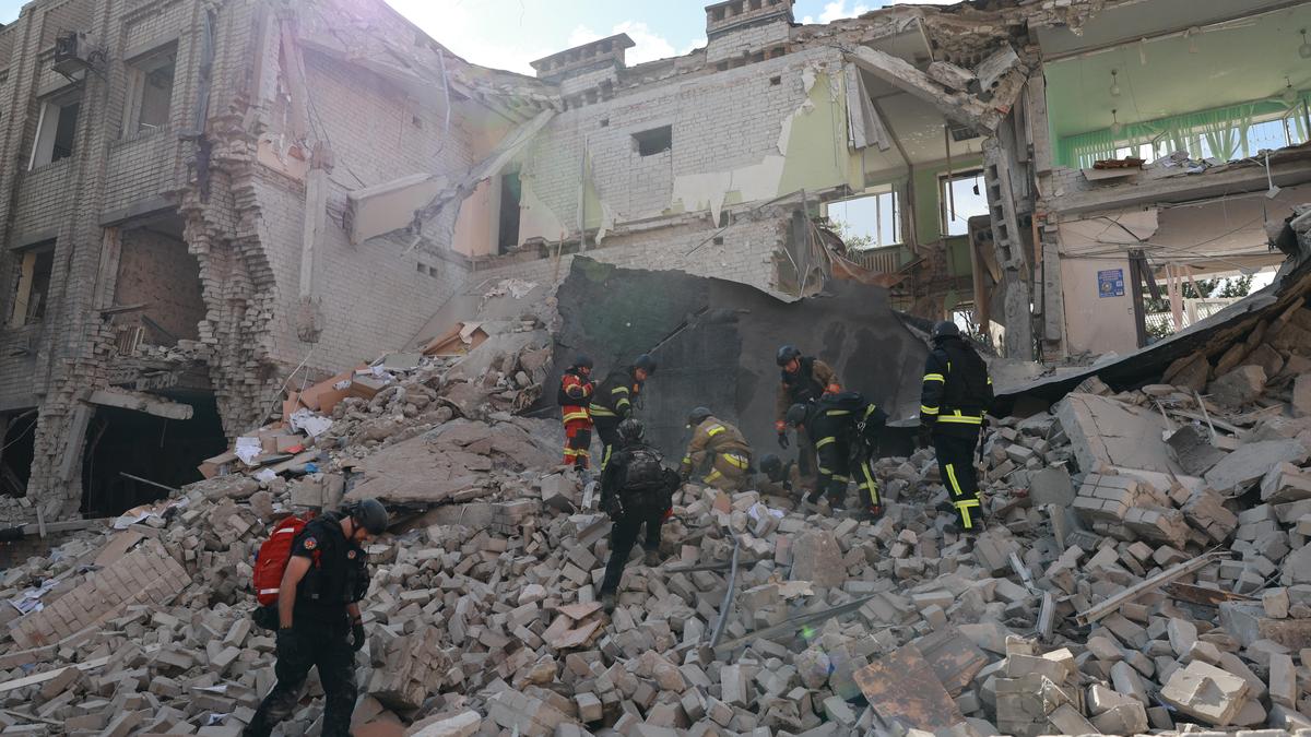
After Sudan’s Army advance, Sudan’s Army said RSF forces were pushed west off the roughly 400-kilometre Khartoum–El-Obeid road. Soon after the shift in road control, drone strikes reportedly hit El-Obeid, and Sudan’s Army-linked account described retaliation targeting municipal buildings in El-Obeid.
UPSC can treat the Khartoum–El-Obeid highway as a strategic corridor where control affects civilian routing and aid logistics. Reported drone strikes and actions targeting municipal buildings can be used to discuss civilian protection risks arising from urban and civic-space contestation during internal armed conflict.