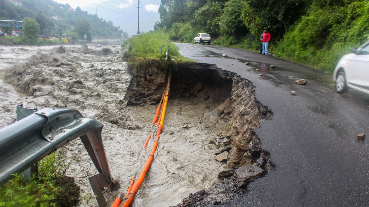
What happened: severe monsoon impacts across Jammu and Kashmir
A severe monsoon spell caused widespread disruption in Jammu and Kashmir, with reported landslides, flash floods, urban waterlogging, and agricultural stress. Major rivers and water bodies swelled, and localized flash floods and landslides in foothill areas damaged smaller connectivity structures.
In the Kashmir Valley, the India Meteorological Department (IMD) reported rainfall far above normal: Kashmir received about 325% more rainfall than usual between July 17 and July 23.
Heavy rain led to a sharp rise in the Jhelum and in the Jhelum catchment area near the Lidder River, producing serious flooding. The wet spell also erased the season’s rainfall deficit within four days.
Reasi district recorded the highest reported rainfall of 473.2 mm during the July 19–24 period.
Rising levels in tributaries and the Jhelum kept communities on alert. Field teams focused on restoring traffic and draining water from inundated centres, while residents and farming communities waited for drier weather to assess crop and livelihood losses across the Valley.
Related current affairs
- Eight killed as extremely heavy rain lashes Kerala
- Three dead, two lakh affected as heavy rain triggers floods in Odisha
- J&K floods: schools shut, Amarnath Yatra halted
- 158 killed in Nepal flash flood, hundreds missing
- ‘Centre is closely monitoring Nepal flood, reservoirs’
- Centre monitors Nepal flood; Amit Shah reviews preparedness in Bihar and Uttar Pradesh