What happened: cloudburst events and the need for correct identification
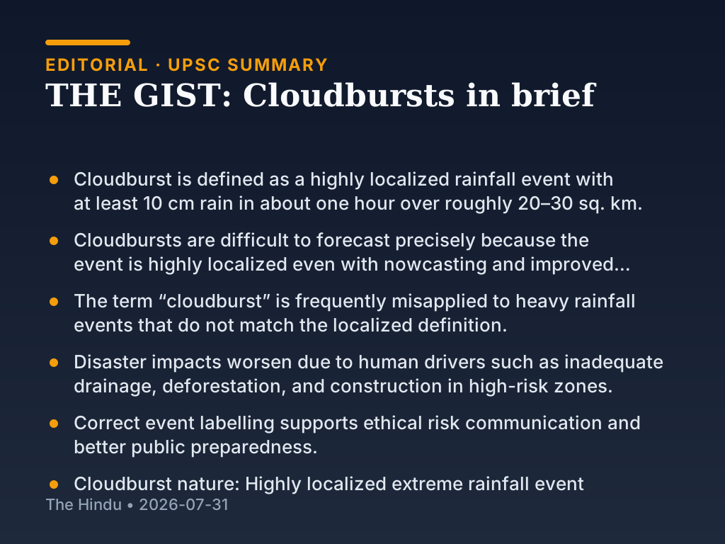
A cloudburst is a short-duration, highly localized downpour. The commonly used threshold definition is a rainfall amount of at least 10 cm in about one hour over roughly 20–30 sq. km. Because the rainfall is confined to a small area and develops quickly, even improved forecasting tools often find it difficult to predict the exact time and location with enough lead time.
Background and earlier position: why “cloudburst” gets confused with heavy rainfall
The term “cloudburst” is frequently misused in public reporting. Many events that are widely described as cloudbursts are actually heavy rainfall over a larger region or longer duration. Mislabeling matters because the hazard behaviour, expected impacts, and preparedness guidance can differ between a highly localized cloudburst and more general heavy rain.
What changes now: focus shifts from only meteorology to human drivers of impact
Even when the rainfall trigger is meteorological, disaster outcomes often worsen due to human drivers. Common vulnerability factors mentioned include inadequate drainage, deforestation, and construction in high-risk zones. Under these conditions, the same rainfall intensity can cause much greater flooding and damage than it would in better-planned areas.
Related current affairs
- How common are cloudbursts in India?
- 158 killed in Nepal flash flood, hundreds missing
- ‘Centre is closely monitoring Nepal flood, reservoirs’
- Centre monitors Nepal flood; Amit Shah reviews preparedness in Bihar and Uttar Pradesh
- Nepal’s Prime Minister says rescue will continue through the night; officials discuss likely triggers
- 157 killed in Nepal flash flood, hundreds missing