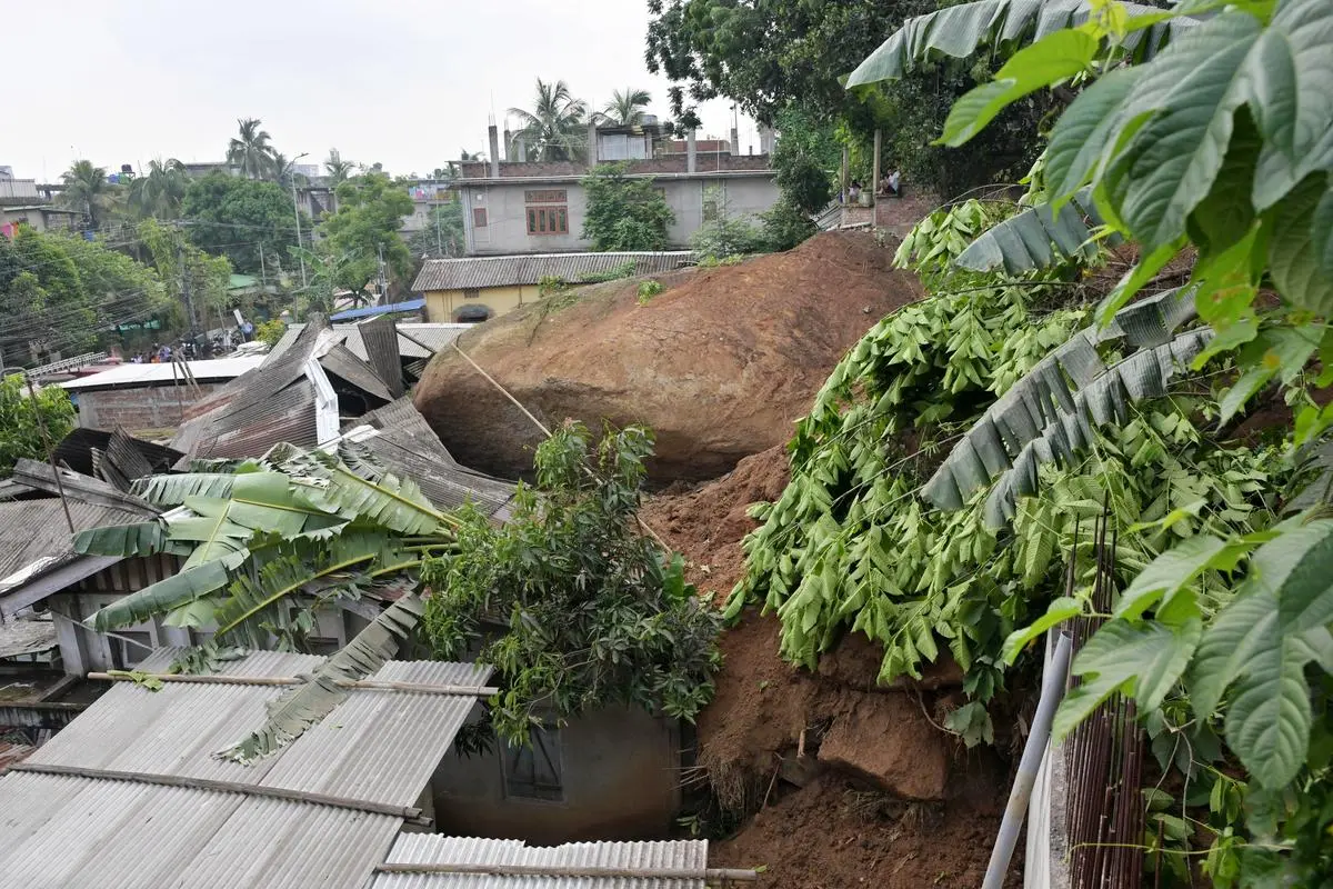
Heavy and continuous rain triggered landslides at multiple locations in Mon town, Nagaland, causing deaths, injuries, house damage, and disruption of communication networks. The incident is relevant for UPSC because it combines physical geography, disaster management, and district-level governance in a vulnerable hill region near the Myanmar border.
What happened
Landslides struck at least 11 locations in Mon town around 6 a.m. The district headquarters lies about 300 km northeast of Kohima and borders Myanmar.
Officials said the slides killed eight people and injured 15. Four bodies were recovered from the disaster site, including three females and one male.
The district administration relocated residents to safer places. Officials also reported that 12 houses were damaged at the site, with additional damage in other locations.
Background and earlier position
Related current affairs
- ‘Whole village went under water’: Assam grapples with floods, 21 dead in 24 hours
- Govt releasing its share of SDRF disaster funds to seven flood-affected States
- 134 roads in Himachal shut due to landslides, flash floods; 15 dead
- DoT activates Intra-Circle Roaming in J&K, Assam and Nagaland after severe weather disruptions
- Narrow escape for DY CM, MP as landslides continue in J&K
- Assam flood situation eases; death toll now 11