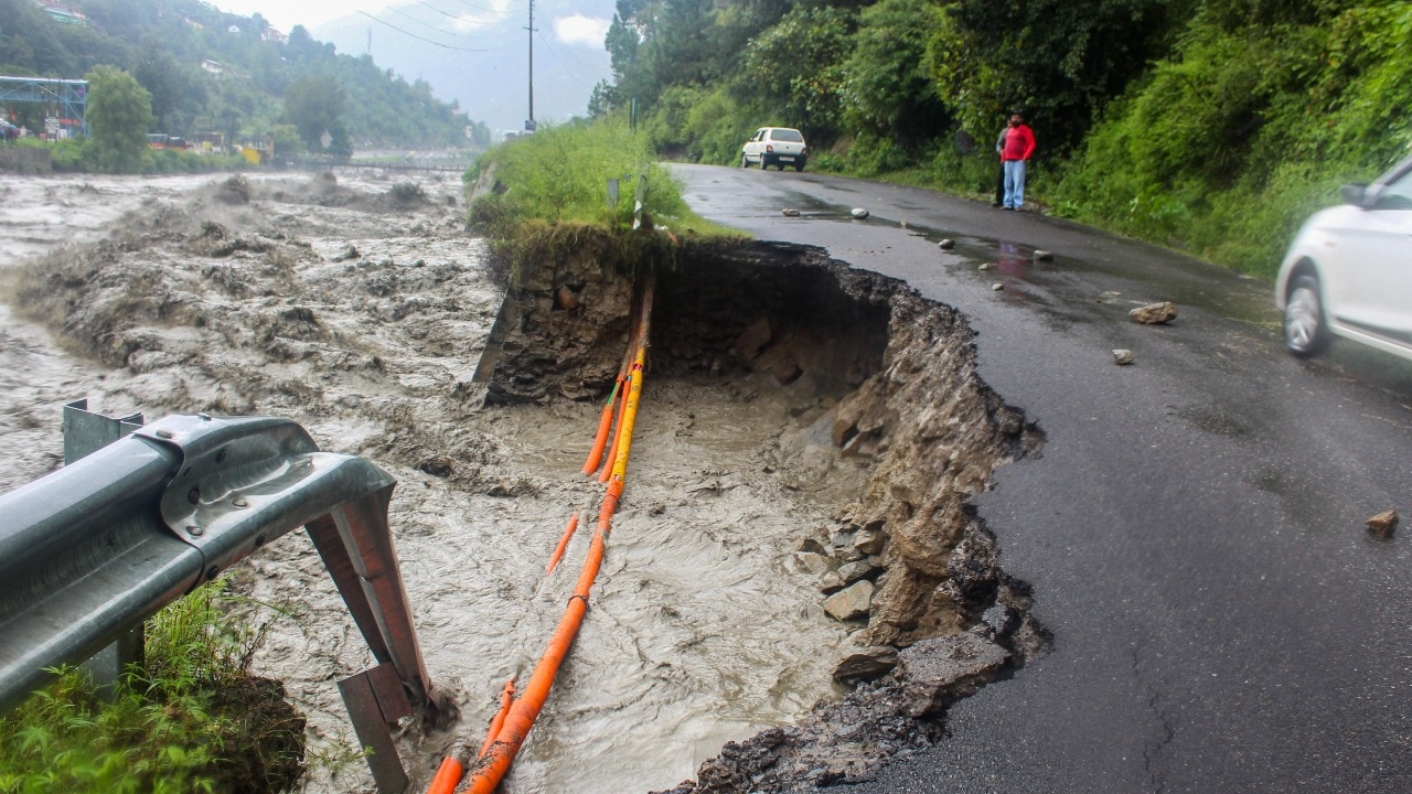
Perilous perch: Jhelum river houses near/over danger mark in Srinagar
Srinagar issued a high alert for the Jhelum River after swollen tributaries and rising river levels brought riverbank housing close to or above the danger level.

- Danger level is a local water-height threshold on a river gauge; when water nears or crosses it, flooding impact on nearby inhabited areas becomes more likely.
- Swollen tributaries increase the inflow into the main river, so the Jhelum River water level can rise faster and reach danger level near riverbank settlements.
- Flood impact depends on how close houses are to the floodplain; housing near or above danger level is more exposed during rising river stages.
- A high alert should lead to graded preparedness steps such as quicker public communication and readiness for evacuation or protective action for rural and semi-urban areas near the riverbank.
What happened in Srinagar (Jhelum River danger alert near riverbank housing)
Srinagar issued a high alert for the Jhelum River after swollen tributaries and rising river levels pushed the river toward a danger level. Near the Jhelum River in Srinagar, houses were reported as appearing close to or above the danger level, indicating heightened flood impact risk for nearby settlements.
Background and earlier position (why danger-level conditions matter for settlement risk)
UPSC can frame the Srinagar–Jhelum situation as a flood-disaster management question that tests whether danger-level warnings (based on observed river stage and rising inflows) lead to timely, last-mile preparedness and protective actions for exposed rural and semi-urban settlements.
Related dispatches