GS3The Hindu · Current Affairs
Jhelum river near/over danger mark in Srinagar
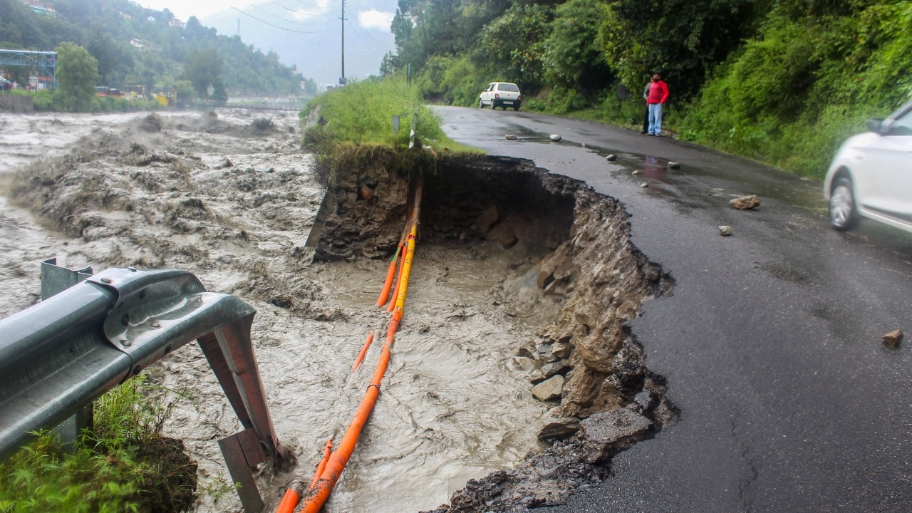
Near Srinagar, the Jhelum river is reported to be flowing over the danger mark, with swollen tributaries and rising river levels affecting riverbank housing.
SP
Samachar Pathshala Desk
Published 26 Jul 2026 · 1 min

Key takeaways
- A danger mark is an operational threshold on a river measuring station that signals hazardous water levels for nearby settlements.
- Swollen tributaries can add water to the Jhelum, which raises river levels downstream and increases flood risk in Srinagar.
- River-level rise reaching or crossing the danger mark is reported to trigger high alert for rural and semi-urban populations living near the river.
What happened
Near Srinagar, the Jhelum river is reported to be flowing over the danger mark. Houses along the Jhelum river in Srinagar are reported to be affected by the rising river water. Swollen tributaries and rising river levels are reported as the reasons behind the dangerous river condition, and rural and semi-urban populations are reported to be kept on high alert.
Background and earlier position
The UPSC angle
GS3
From river gauges to last-mile safety
UPSC can frame this as a test of flood preparedness: how river gauge danger-level reporting should trigger graded alerts and household-level actions for people living along the river corridor.
Related dispatches

The Hindu
Perilous perch: Houses along the banks of the Jhelum river sit above danger as waters rise in Srinagar

The Hindu
Perilous perch: Houses seen along the banks of the Jhelum river flowing over the danger mark in Srinagar

The Hindu
Perilous perch: Jhelum river houses near/over danger mark in Srinagar
The Hindu
Upheaval in undulating valley