What happened
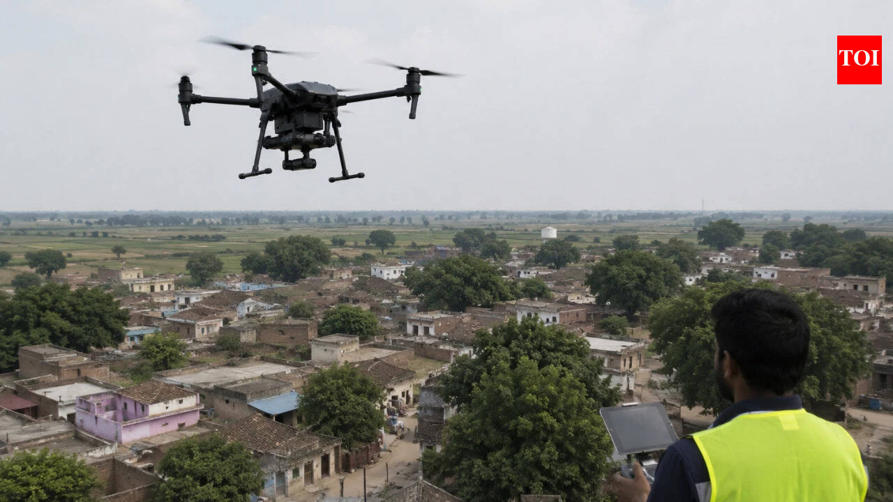
The Union government said that Uttar Pradesh has completed drone survey in all notified villages covered under the SVAMITVA scheme. The same reply also said that property cards continue to be prepared and distributed for rural inhabited, or abadi, areas.
The Ministry of Panchayati Raj said that the scheme has been extended till September 2026. The extension keeps the programme active for survey completion, record preparation, and issue of property documents in rural settlements.
What the SVAMITVA scheme does
SVAMITVA is a rural property-mapping programme that uses drone-based surveys and Continuously Operating Reference Stations (CORS) technology to create accurate maps of inhabited village areas. The scheme aims to provide a Record of Rights to property owners in abadi areas.
The scheme also includes ground verification and resolution of objections or disputes by competent state authorities before Property Cards are issued. That design matters because property mapping is not only a technical exercise; it is also a legal and administrative process.
Related current affairs
- DRONE-BASED LAND SURVEYS AND DIGITISATION OF PROPERTY RECORDS
- SVAMITVA Scheme: Record of Rights via drone surveys and creation of GIS-based maps
- News in Frames: Chromium contamination and its effects near villages by the Ganga
- News in Frames: Chromium contamination’s lingering impact on villages and wells near the Ganga
- Gen Alpha rises, one school at a time
- U.P. CM rolls out integrated policy for State’s youth