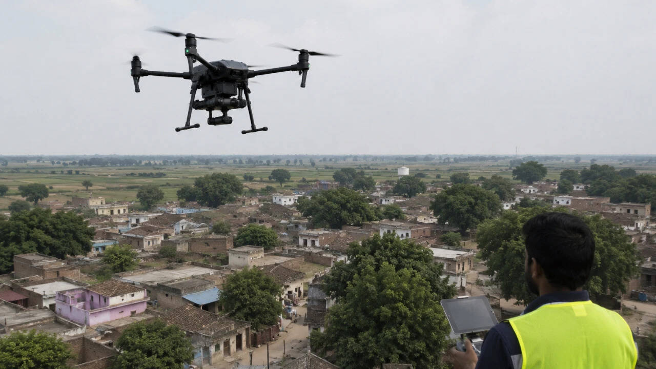
The Ministry of Panchayati Raj says the SVAMITVA Scheme is being used to provide Record of Rights for property owners in rural inhabited areas. The scheme matters because it links land demarcation, digital mapping, and local governance to property security, dispute reduction, and credit access.
According to the ministry, the scheme uses drone survey and Continuously Operating Reference Stations (CORS) technology to prepare high-accuracy maps of village abadi areas. The ministry says these maps are used to clarify property boundaries and support issuance of Property Cards.
The scheme also provides for ground verification and resolution of objections or disputes by competent State authorities before Property Cards are issued. That design places the legal and administrative role of the State at the centre of the final record, even when the mapping is technology-led.
Background and earlier position
Before such digitisation measures, rural inhabited properties often depended on fragmented or unclear records, which can complicate title clarity, local taxation, and access to formal credit. SVAMITVA addresses that governance gap by converting mapped property boundaries into a recognised Record of Rights.
The ministry says it commissioned an impact evaluation through the Indian Institute of Management Ahmedabad to assess two outcomes: bank loan uptake against Property Cards and Gram Panchayat own-source revenue, including property tax and other local taxes.
Related current affairs
- SVAMITVA Scheme: Record of Rights via drone surveys and creation of GIS-based maps
- SVAMITVA scheme progress in Uttar Pradesh: drone survey completed in all notified villages; property cards distribution and extension till Sept 2026
- Key highlights and explainer boxes (SVAMITVA in focus: revenue courts/administration, property cards, and benefits)
- Measures by MoPR to enhance Panchayats’ Own Source Revenue (OSR) and financial capacity
- ‘SVAMITVA’ ushers in new era of rural ownership in Madhya Pradesh
- Govt to issue Smart Property Cards in Lal Dora areas, 48 villages to be covered under SVAMITVA scheme